


|
|
|
|

GHS Events CalendarTue, Aug 21, 7 pm Tue, Sept 18, 7 pm Tue, Oct 16, 6 pm Potluck* 7 pm Program
Click HERE For Past Programs.
Library &
|
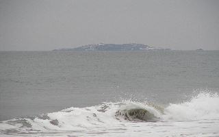
| Here are six lighthouses in the Kennebec River between Bath and open ocean: Doubling Point www.lighthouses.cc/doubling Doubling Point Range www.lighthouse.cc/doublingpointrange Squirrel Point www.lighthouse.cc/squirrelpoint Perkins Island www.lighthousefoundation.org/alf_lights/perkinsisland/perkinsisland_info.htm Pond Island www.lighthouse.cc/pond/index.html Seguin Island www.seguinisland.org Determining what lighthouses are associated with what town can be confusing. Visually, there is no question about Doubling Point, Doubling Point Range and Squirrel Point as they are firmly attached to the shore of Arrowsic Island. Perkins Island, off Marrtown and just north of Marr Island, appears to be; and, in fact, is closer to the Georgetown shore than to the Phippsburg shore making it a Georgetown lighthouse. When one stands on the southern shore of Georgetown with one's shoulders squared with the horizon, Pond Island and Seguin lights appear to be south of Phippsburg. Checking a map or chart of the area reveals a different perspective - both Pond Island and Seguin clearly lie on the Georgetown side of a north/south line drawn through the western-most tip of Bay Point, making it seem as if both are within the the bounds of Georgetown. The deciding factor about these lights, and to what town they belong, lies in the shipping lanes out of Bath, according to noted lighthouse historian, Anne Webster. Navigational charts show that Pond Island is westerly of the navigable channel and Seguin is to the east. So, the two lighthouses within the bounds of the Town of Georgetown are, Perkins Island and Seguin. |
© Georgetown Historical Society
20 Bay Point Rd., P.O. Box 441, Georgetown, ME 04548 • 207-371-9200
email the webmaster